Tuesday 13th June 2017 - Nebraska (Slight Risk)
After the eventful day on the 12th with all the guests in at Denver a day early it was bonus chase time but an early and long day on the cards for the start of Tour 4. We left Fort Morgan and headed to the base hotel at DIA and then straight back the way we came along I76 a quick lunch and onwards along I80 eastbound to Grand Island. The risk today was across most of Nebraska in the form of a Cold Front across the North and west of Nebraska and further east along an outflow boundary. The cold front fired first and it was tempting to head north but we held our ground and with temps of 100f reached with 70f dewpoints it was sweltering in a hot hairdryer surface wind. The first storms went up just South West of Grand Island and the chase was on, we positioned ourselves just east of the NNE moving Supercells and watched lightning and some interesting non rotating wall clouds, the hope today was the 2nd,3rd and so on storms would move into the rain cooled air of the previous storms and hopfeully have better synoptics to work with.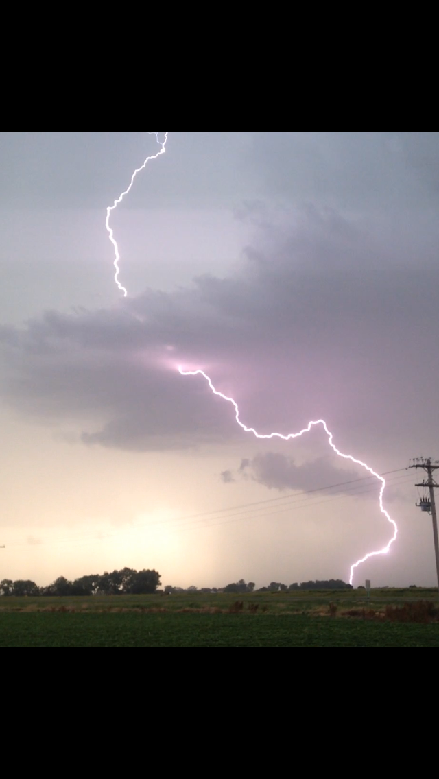 The structure at times was very nice with some stunning Cg bolts. Picture below courtesy of John Finney.
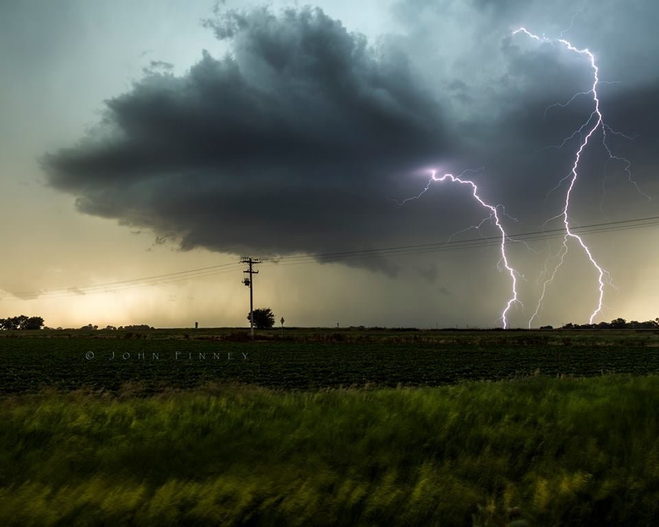 But the storms were starting to go rapidly HP Outflow dominant with winds of 75-80mph being recorded.
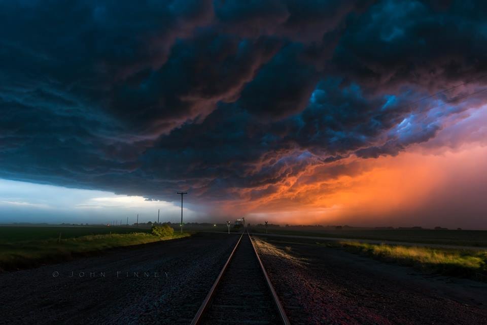
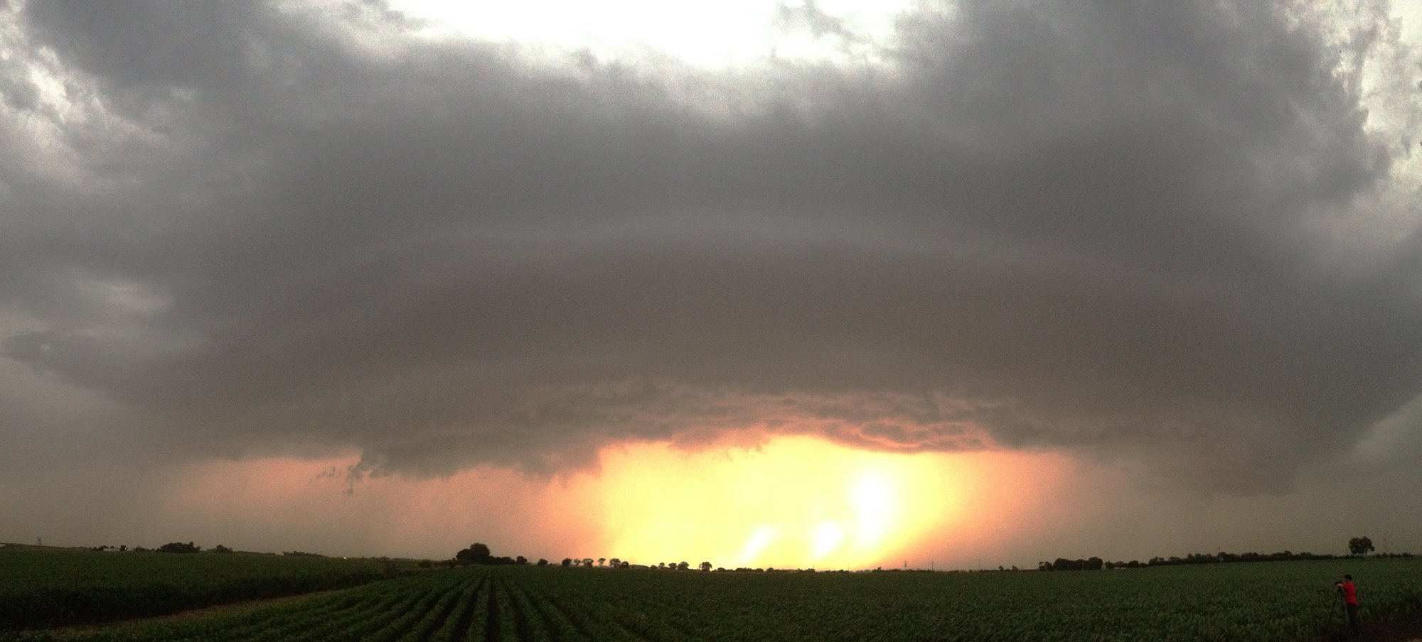 As we raced to keep ahead of the storms around sunset the shelf started to look amazing due to the setting sun and all that dirt and dust it turned the storm a dirty orange colour. Not a bad bonus chase day and we ended the day in Lincoln (Nebraska) Picture below from John Finney at Sunset!