Tuesday 20th June 2017 - Kansas (Slight Risk)
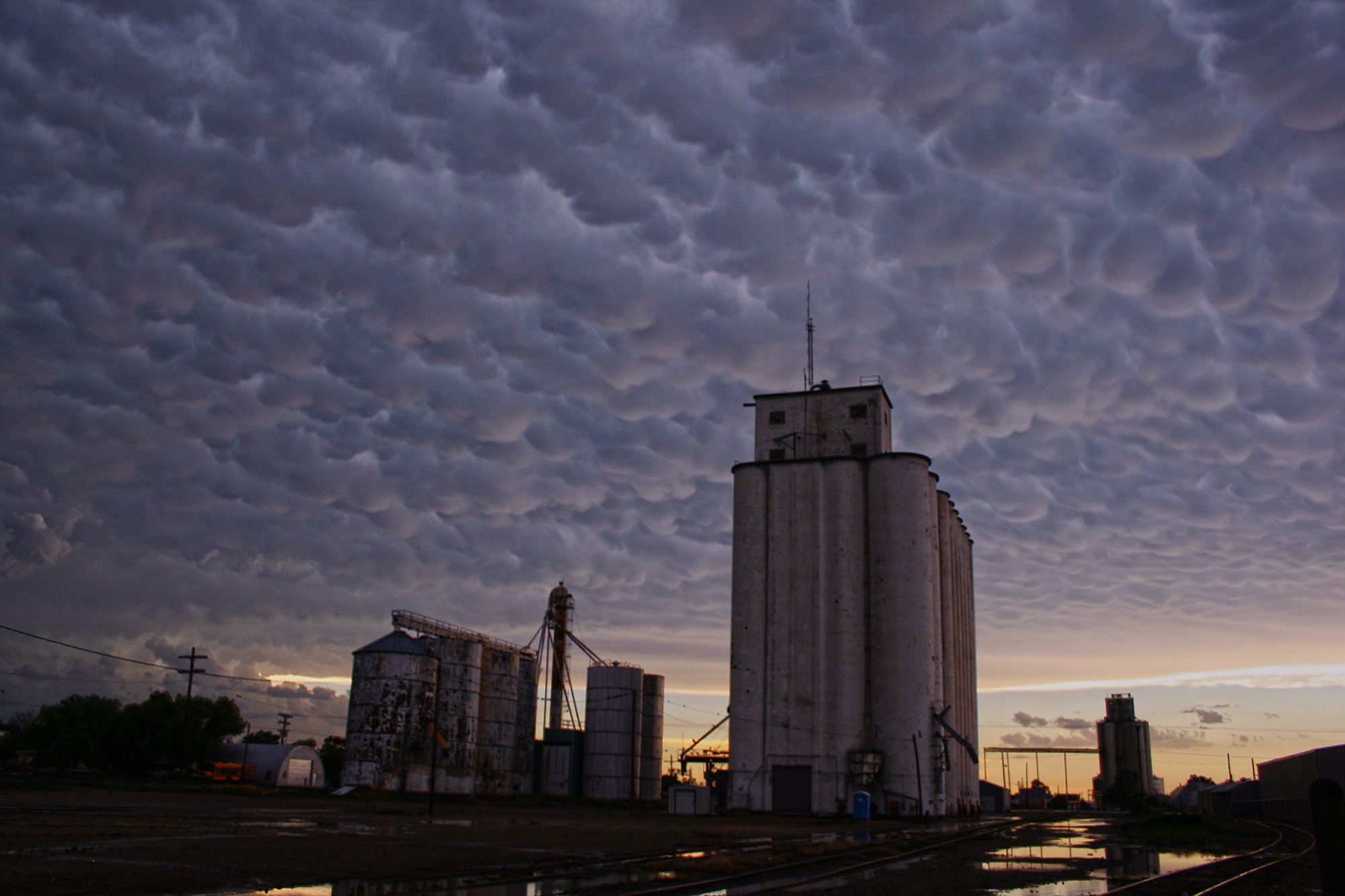
Started today in Colby and did not have to go far for todays risk, a stationery boundary would kick things off again and so after a quick lunch it was south we went towards Dighton. 3 storms had initiated near Scott City to our west but were not severe warned yet, once again todays storm motions were South or even South East due to NW flow aloft again. There was enough shear for organised Supercells so hopefully so structure again today as the Tornado Risk was again below 2%. One storm remained stationery over Scott City and the hail was now increasing to 2.5" so we headed west and stopped at Tractor (Ks) to shoot some lightning. John once again nailed the shot below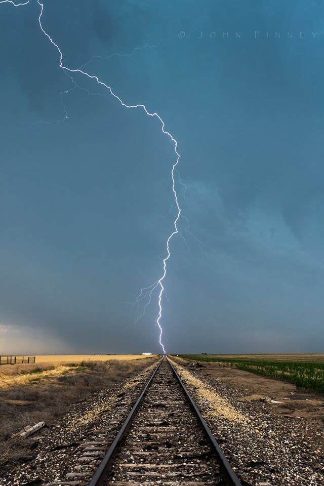 After this we watched a few more storms but was concious of not being drawn too far south as wanted to be in Nebraska for tomorrow (Just for a change) We took some arty farty shots of the Mammatus at Scott City before heading to Hays for the night.