Monday 14th August 2017 - SE Arizona
Today would be the last day of storms before the Monsoon season goes on a 4 day Break pattern with super dry air intruded the whole of Arizona from the west. In fact dewpoints would drop as low as the mid 20's and low 30's with overnight lows even in Phoenix down to a near record low of 75f.We left early at 10am knowing we needed to be on storms early today as diurnal heating would kill off storm chances from around 7pm onwards. We blasted through Tucson and grabbed a Subway at Benson and then headed east through the Dragoon Mountains and south towards Douglas. We stopped at a great little point near a few farms on open farmland with mountains on both sides of us and the now very organised storm to our south. There was even some decent rotation with this storm for a time and plenty of Cg lightning and structure and even a brief microburst.Pics below of Storm near Douglas.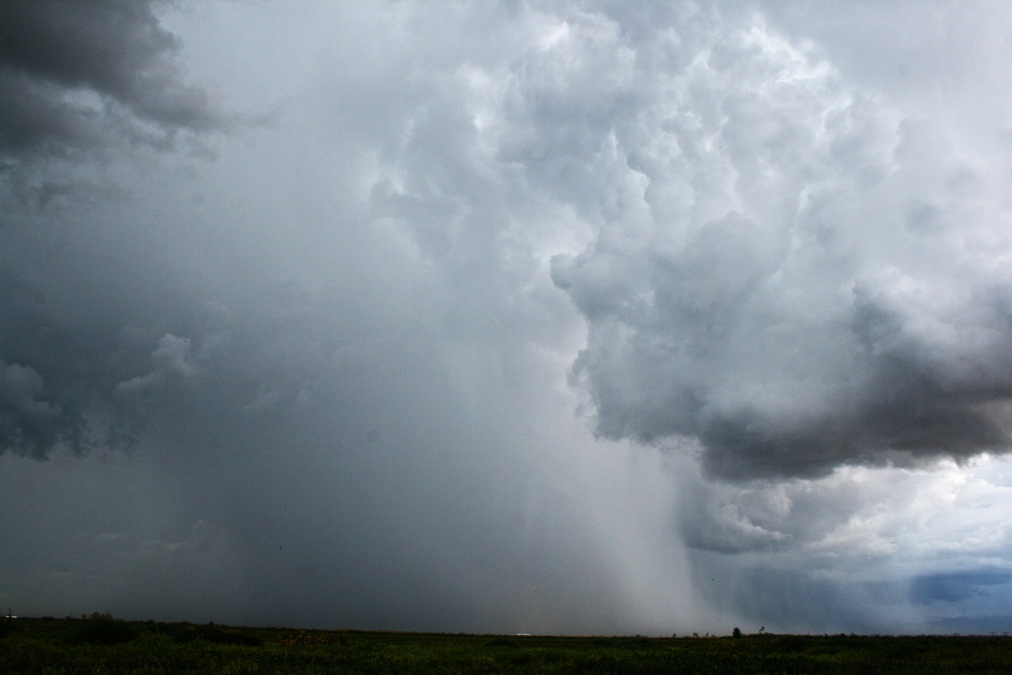 This storm lasted for a good hour or 2 and we did not have to go far for the next storms chances as outflow from the storm above kicked off 3 rapid fire storms South of Wilcox to our North. These were stunning and we got some nice pictures of these.
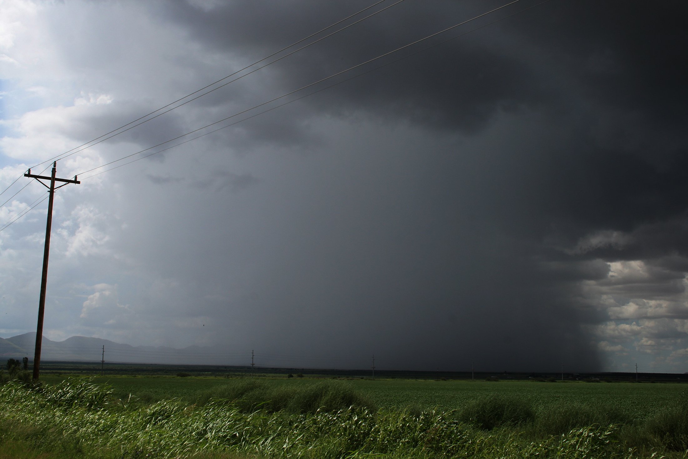
 Radar representation of the storms around us below
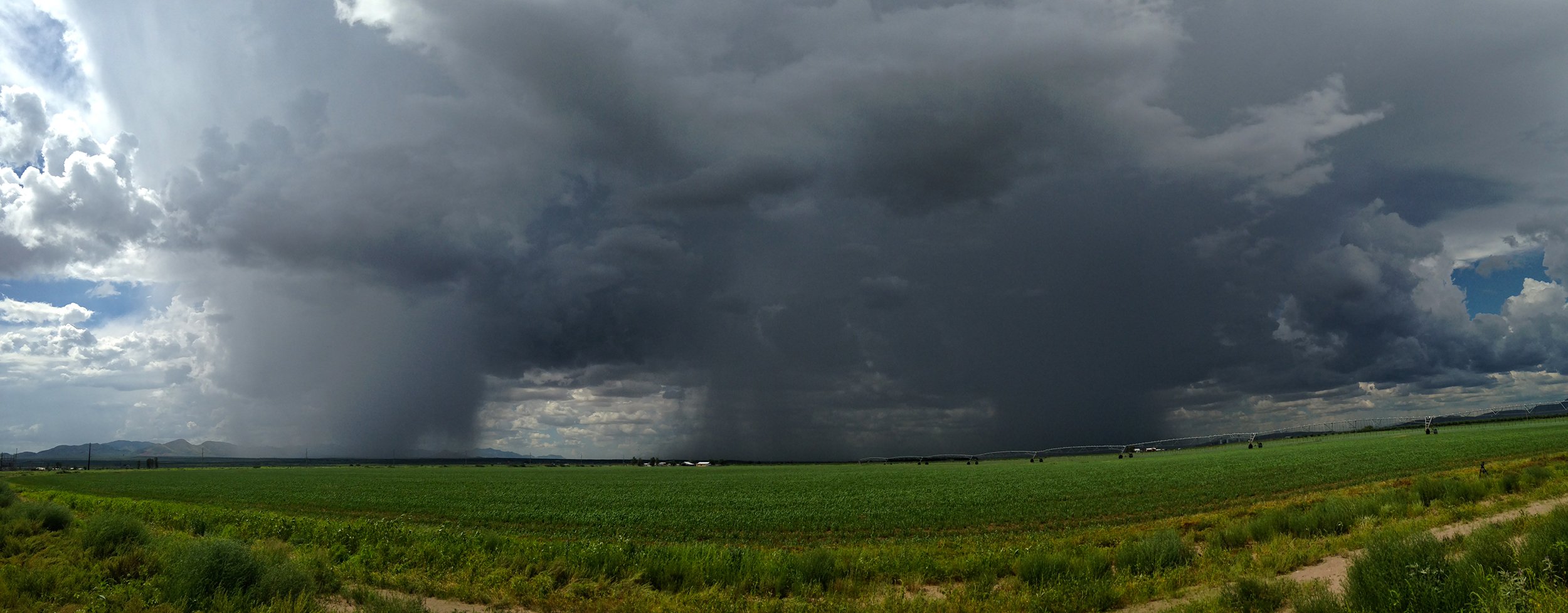
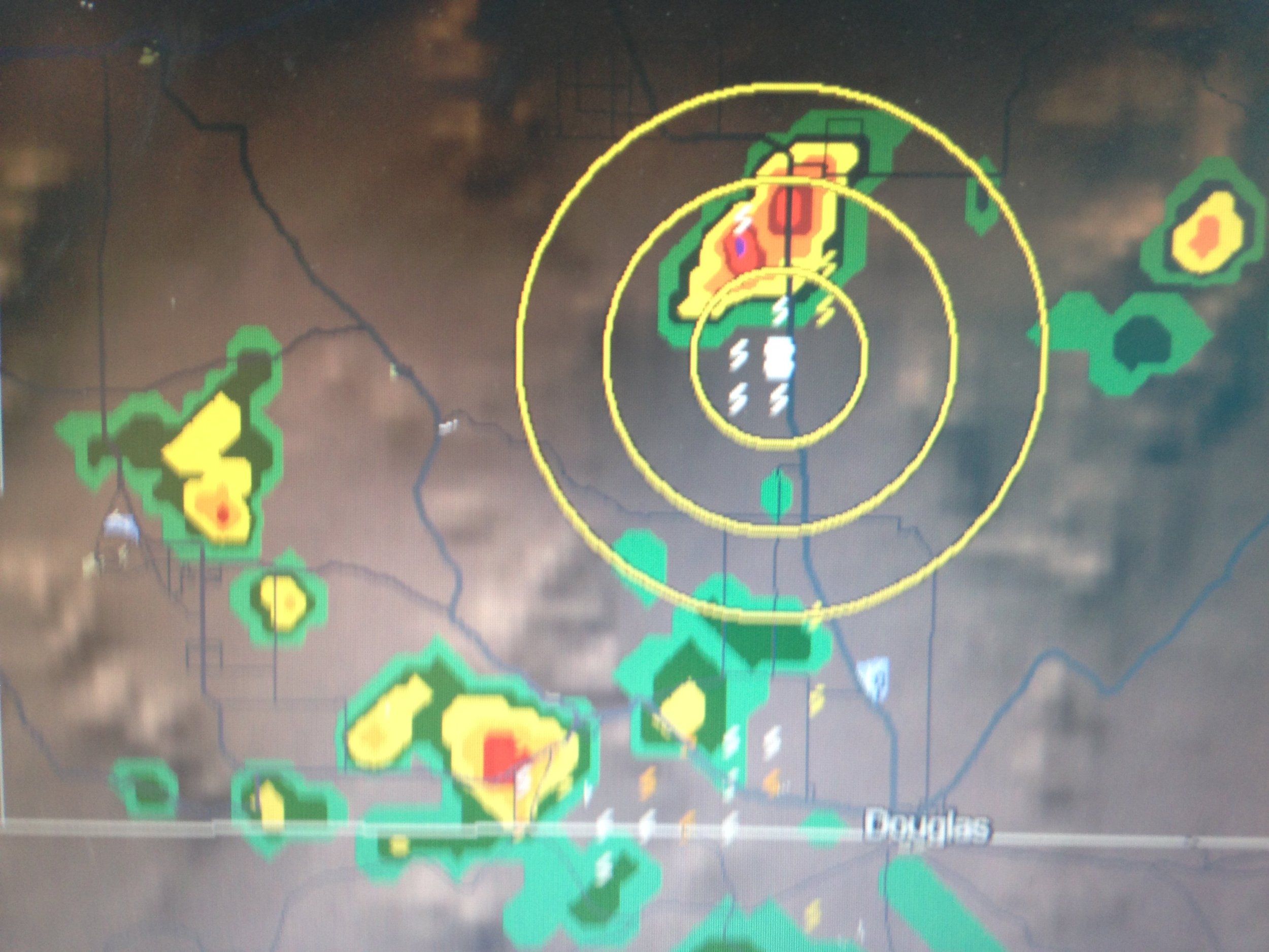 We then moved north again to follow outflow initiating storms and continued to intercept some really decent lightning and structure.
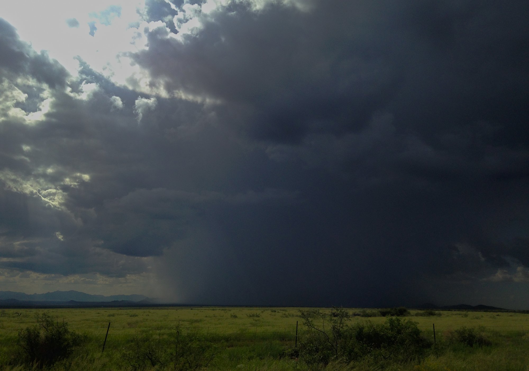
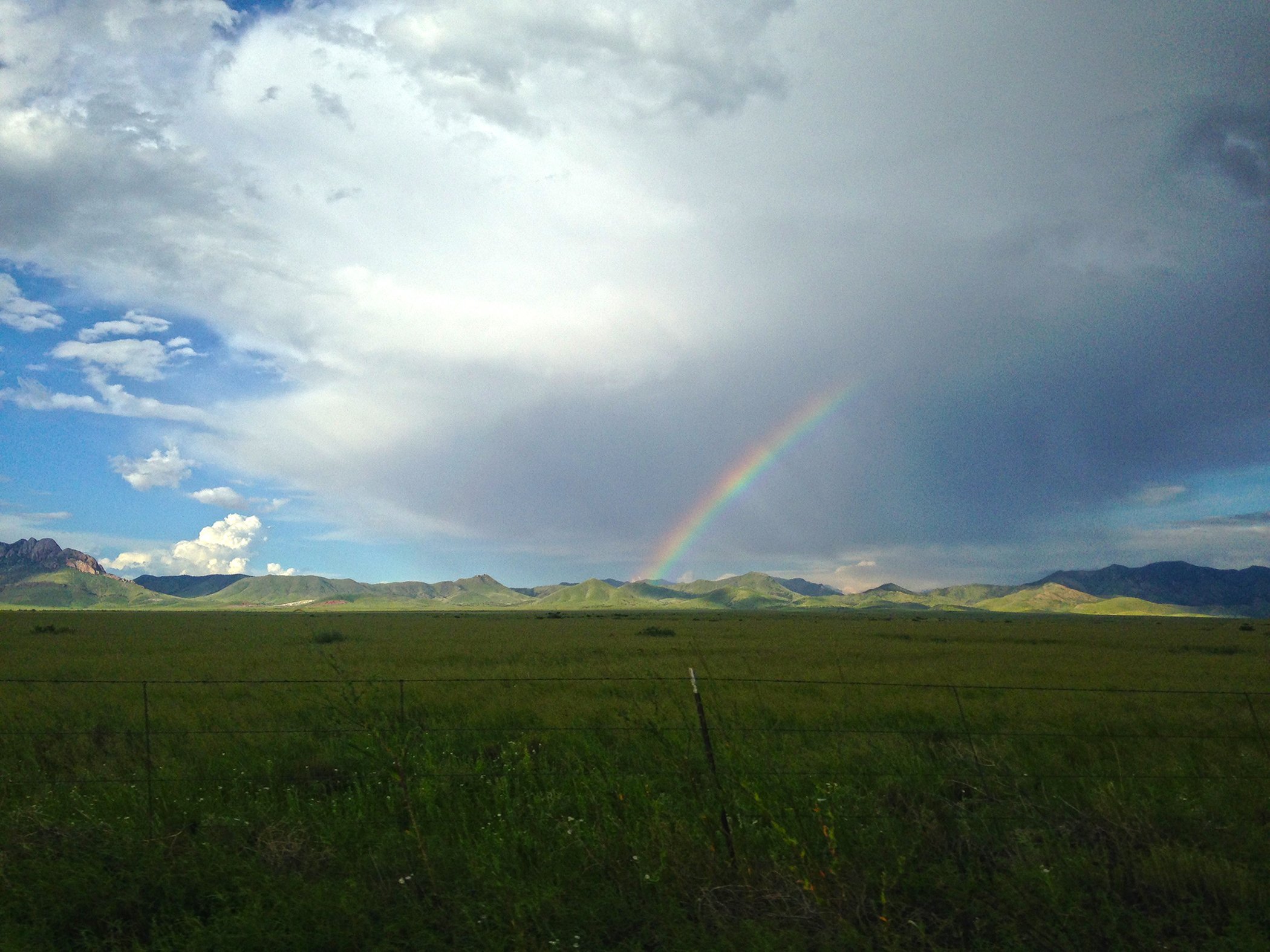 It was lovely being in that area with only a few cars seen over the course of a few hours and it is certainly an area I have marked on the map.
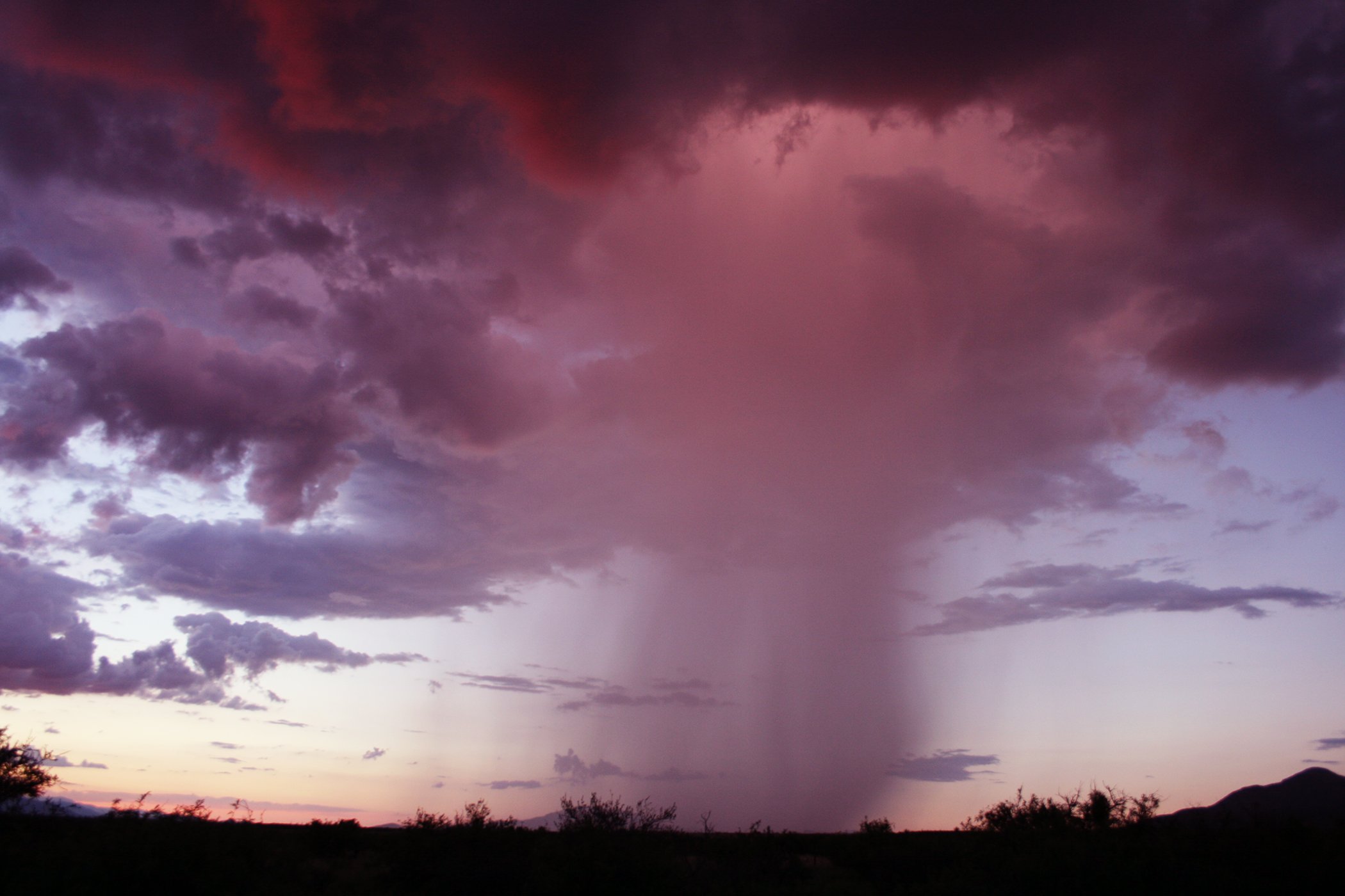
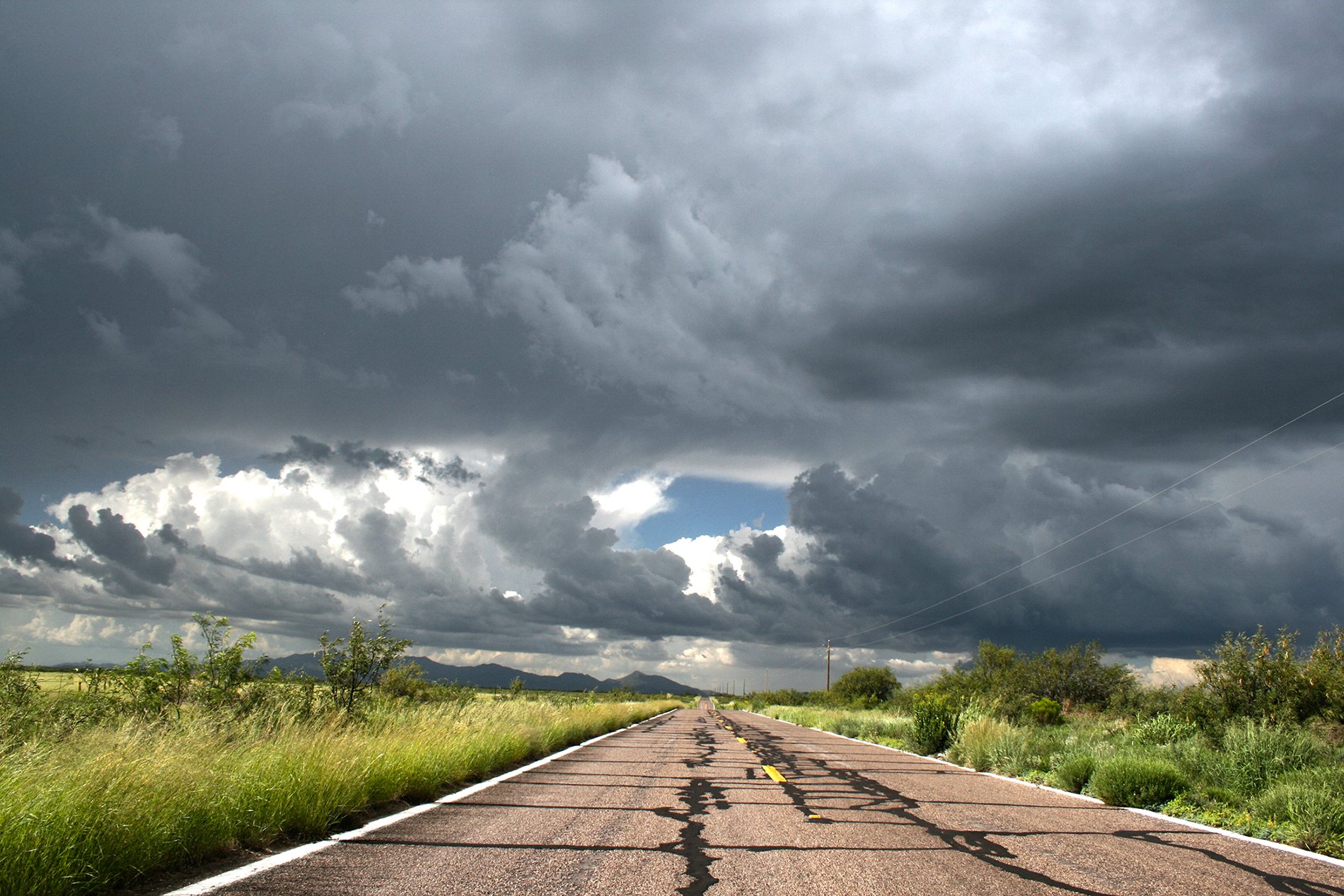 We continued on towards Benson and back for the evening when storms took a rapid down turn around 6pm hoping to at least see a nice sunset with clouds lit up, but another tiny storm initiated just west of Benson so we found a nice spot and watched and prayed it would drop a Cg bolt like very over storm today. This was the atypical Monsoon Sunset storm with lovely red and pink colours, but it was just not to be this time.