Sunday 5th May 2019 - Tx Panhandle (Slight Risk)
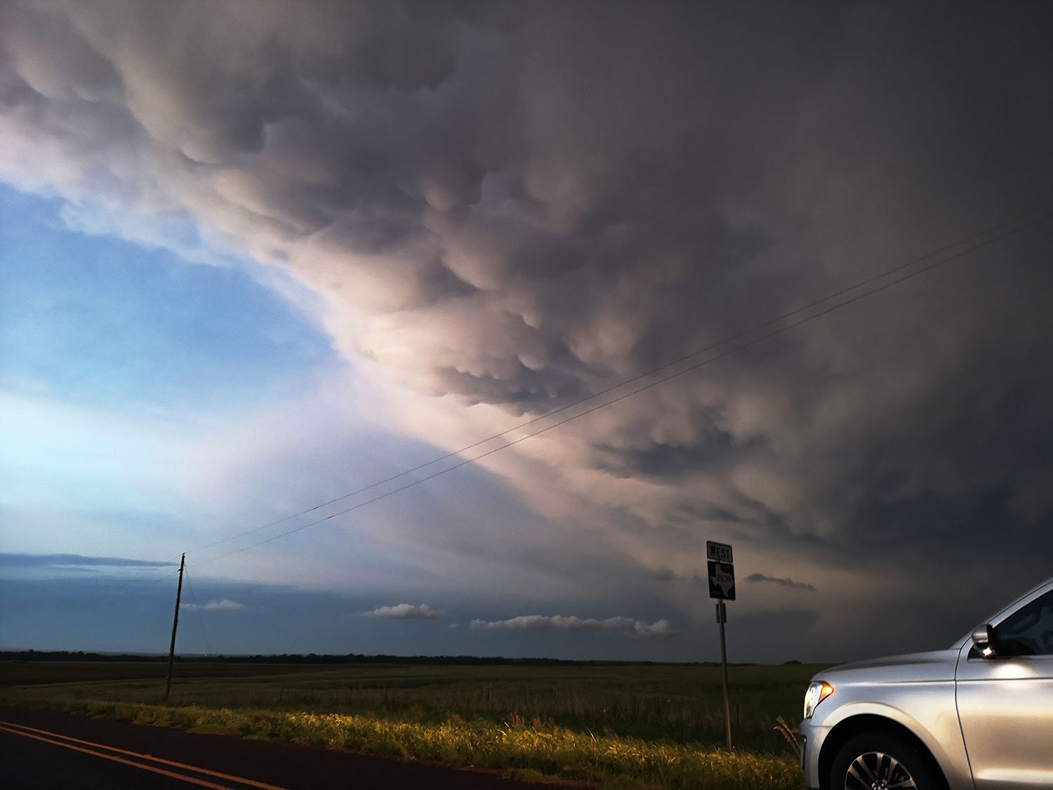
Started the day in Lubbock with a target area of err Lubbock, this would be another decent Caprock day in the Texas Panhandle. Ample moisture for the area of low 60's dewpoints and SE Surface winds would set the stage for strong Supercells along a dryline with some overnight boundaries in the mix as well. HRRR was showing a lone Supercell moving from Lubbock down towards the I20 Corridoor so it looked like an easy chase........................DOH!For some unknown reason we went north to Plainview to top the cars off with the dryline exploding to our South West at 2pm west of Lubbock. We headed east from Plainview towards Floydada to get a better look over open farmland at the now 3 storms all lined up. So if we head back to the stormchasers handbook and having chased this set up numerous times the easy part would be to drop south to Post and chase the tail end charlie...............DOH!Maybe it was early season rustiness but I stuck with some messy looking rain showers further north around the Amarillo area hoping they would go severe as they dropped east off the Caprock towards Silverton and Childress. But no those storms would carry on looking awful and then just as we were far enough out of range the Usual happened with the Southern Most storm latching onto an Outflow Boundary from previous days storms and from moving east moved straight south down the boundary producing an incredible Hook echo and subsequent large tornado.Not a great start to the season.