
Monday 20th May 2019 - Oklahoma (HIGH RISK)

After a down day visiting the Twister Museum on the Sunday we knew the next 10 days were going to be non stop and upon awaking the SPC upgraded today to a Rare HIGH RISK for Tornadoes. An incredible 45% Hatched area was introduced over parts of the Texas Panhandle and Western to Central Oklahoma.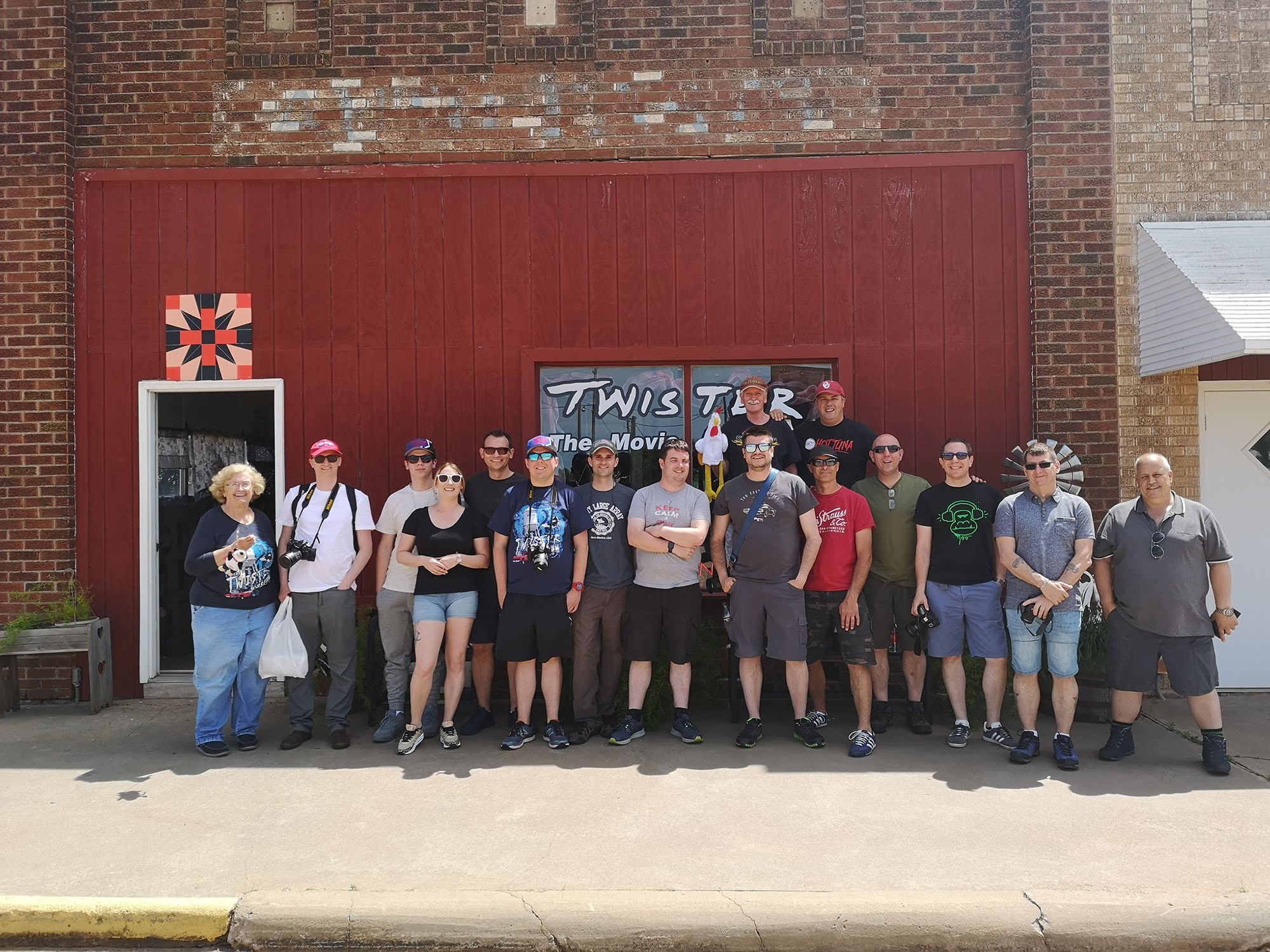 First High Risk since May 18th 2017
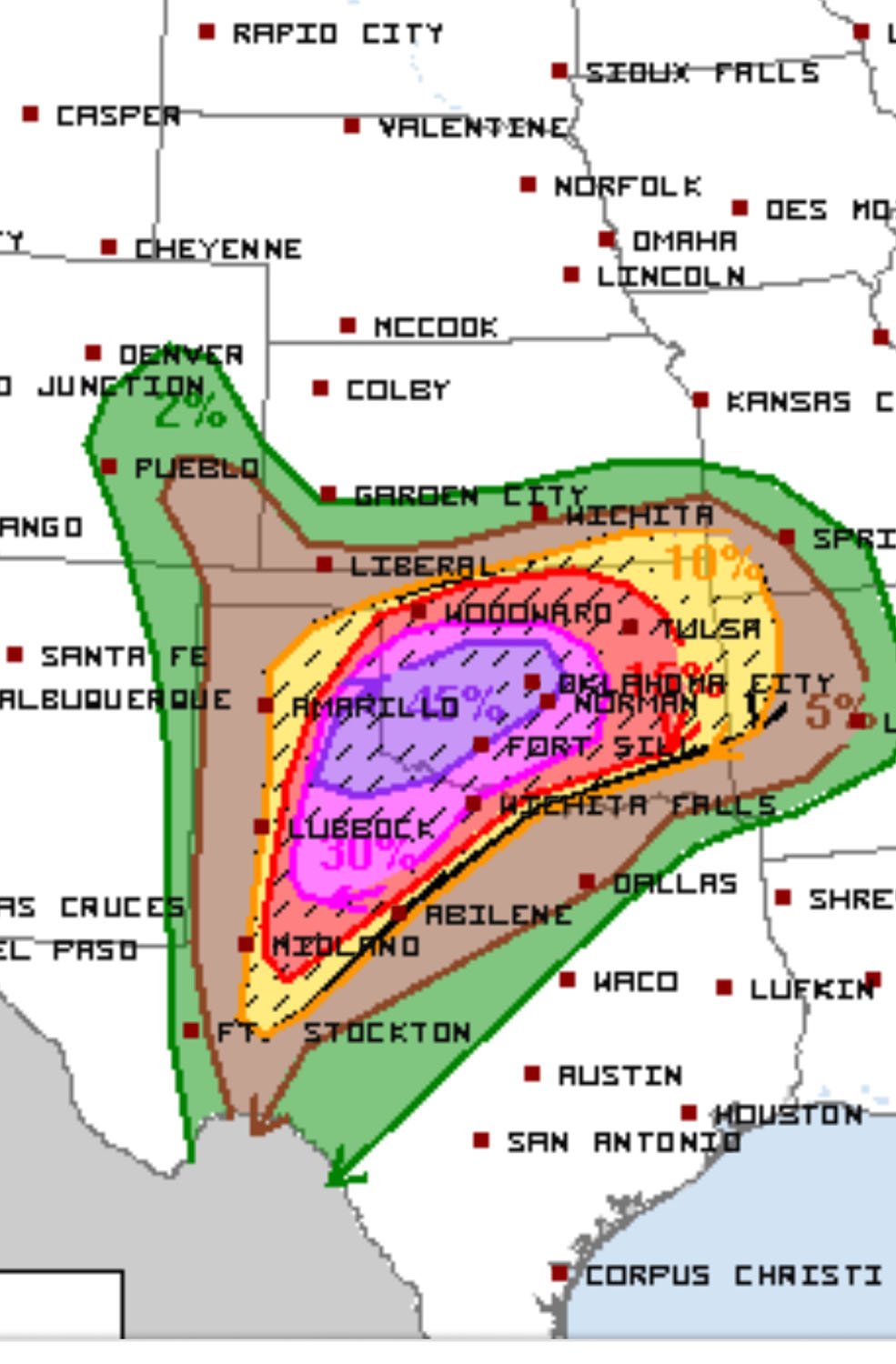 We left Enid with a target of Childress and watched the dryline explode south west of Childress on the Caprock. We knew the Tornadic Supercells would mature into Oklahoma so we let them come to us making sure we had the crossing point into Oklahoma over the Red River which is always a tricky chase, in hindsight we should have driven south to Paducah where the first few tornadoes dropped, once again the atmosphere was hazy due to massive moisture content and the smoke from the Mexican Wildfires. You really could only see the action areas once you were within a few miles. We positioned east of Childress and watched the storm roll just to our west, a solid wall cloud was noted but the storm was clearly cycling at this time.
 Like I said we really had to go close in to see anything, not the best idea on a day when the SPC are forecasting long tracked violent tornadoes.
 After crossing the Red River this was my worst mistake of the day, we were way ahead of the chaser hordes at this point and should have made a beeline for Mangum but instead went west then north to Gould where we watched a rotating wall cloud. After this it became probably the worst chaser convergence I have ever seen out here. Traffic crawling at 10mph and side roads packed with vehicles, crashes littered the highway and people impersonating police cars on the wrong side of the road which were chasers, even the Dows and Texas Tech pulled some dreadful stunts on this day. End result was a view of the Mangum Tornado from 5 miles south when the best video was shot from North East of the Tornado.
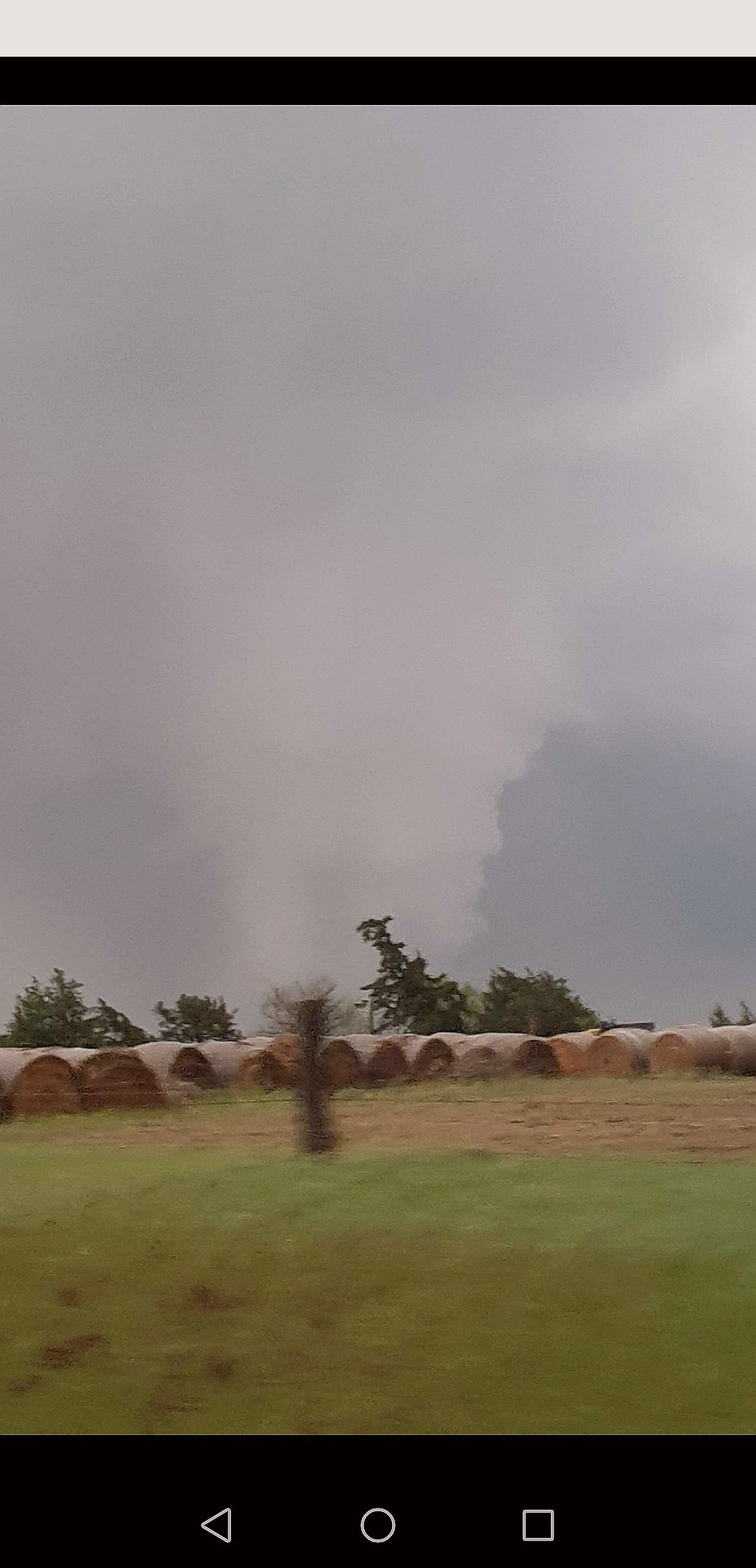 Literally 15 minutes after that picture was taken the cold front which was crashing south undercut the storm and it went outflow dominant almost instantly, after that it was pretty much game over for the day, we drove back south towards Wichita Falls and the temperature shot back up from 58f to 83f in a matter of miles. The dryline storm we then targeted further south also was struggling and after side swiping a deer north of Vernon we kind of knew it wasnt going to be our day.