Tuesday 21st May 2019 - Kansas (Slight Risk)

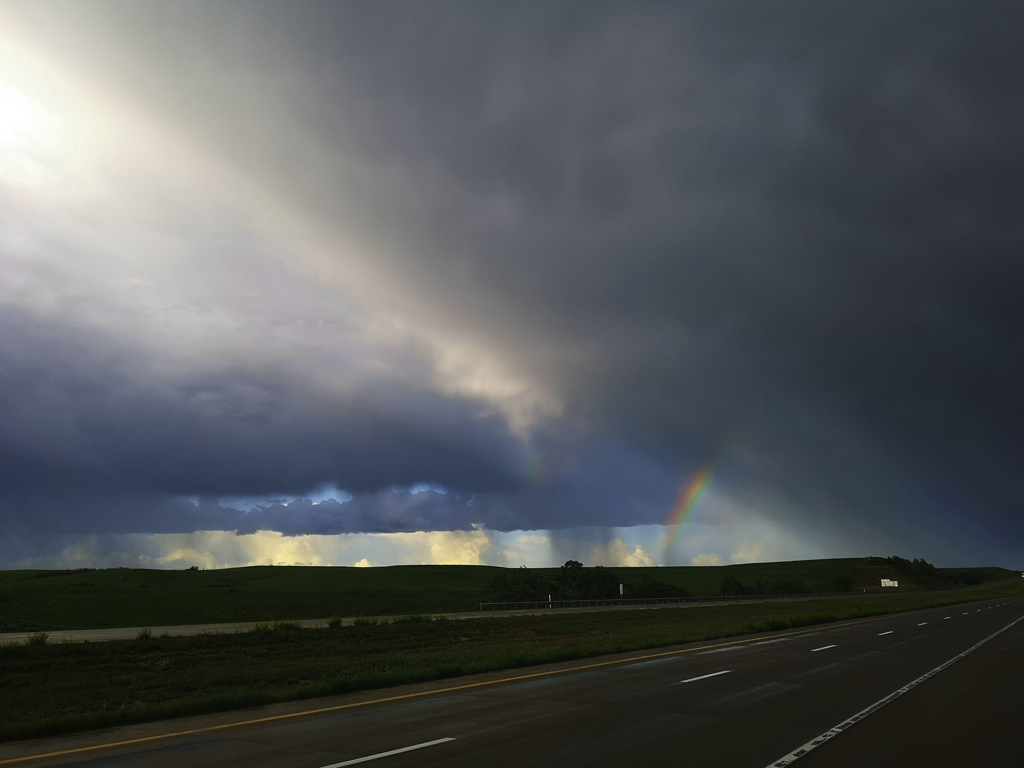
We started today in Wichita Falls with a general area of Salina in Kansas as our target today. The Set Up today would be a Cold Core chasing set-up, these can produce lots of Tornadoes east and North East of the surface Low Pressure where moisture has been left behind. On the travel north I kept a check on Mesoscale features and noted the Dewpoint was 63f at Wichita (Kansas) We stopped for some lunch and pushed onto Salina. Storms were starting to look interesting so we watched a few with some great wall cloud and funnel features. I took my eye off the ball in relation to how fast the LP was moving North East and how the moisture tongue had also moved North and East into North-East Kansas. Storm were now starting to form North of Topeka and rocketing off to the North at 50mph, the chase was on but it was all in vain and with NE Kansas having a regional Tornado Outbreak it was hard to watch the pictures come in from the event. A massive chance missed today and one I will learn from.