
Friday 24th May 2019 - Tx Panhandle (Enhanced Risk)
Started the day in Woodward after back to back Moderate Risk Tornadoes with another frontal boundary risk today. One major concern would be the lack of capping and thats what ruined the day in general. Even on the way down through to Childress the first storms had fired and a Tornado Watch had been issued around midday. Training HP Storms were messing the day up even before it had began. We looked at the storm coming in west of Paducah but knew it was just going to be a stop, take picture of green sky then move east again type of day, so I made the decision to head south to Guthrie and then west towards Lubbock in the hope something more isolated could fire off the dryline South and West of the Lubbock area.The big story of the day though was the Historic Flooding going on east of the Lubbock area where nearly 8 Inches of rain had fallen and it was a struggle getting through the towns of Ralls and Crosbyton.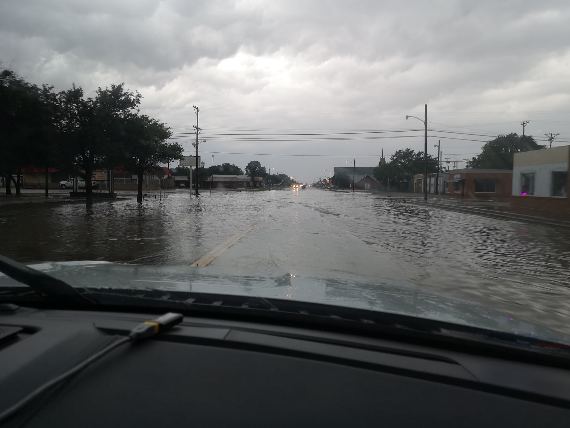
 We cut off the chase to grab dinner in Applebys and kept 1 eye on a developing Supercell west of Lubbock which was moving towards our overnight stay in Plainview and after finishing dinner we made our way north on the interstate and shot some lightning. A very big underperforming day.