Tuesday 16th July 2019 - Montana (Enhanced Risk)
We awoke today in Conrad with a huge drive ahead of us through Billings and further east into SE Montana. SPC had put up a 2% Tornado Risk and an Enhanced Risk for Severe wind Damage as storms congealed into an east moving MCS later on that day. We grabbed a quick lunch in Billings and it was straight onto the Storms picking up the first Supercell of the day near Harding. We then took the east road from there towards Broadus and stopped before the Pine Forests to watch this storm for a while.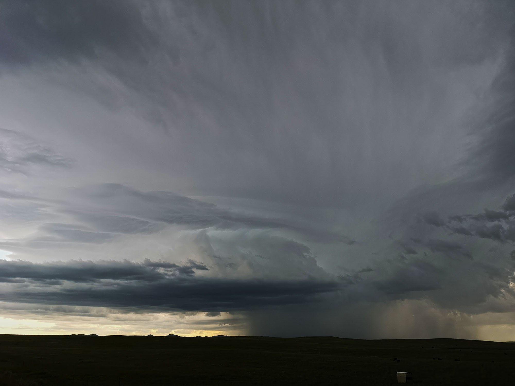 Our next intercept location would be much further east as there really are no viewing points around the Custer National Forest and also zero Internet in the Indian Reservation. As we were travelling east the above Supercell had died a slow death but renewed regeneration on the southern side had fired off an ENE moving LP Supercell and we were in a great position over much better terrain to watch this storm moved towards us.
 The Stunning Montana Prairies afforded us unobstructed views of this Supercell. Picture below from John Finney
 We re-positioned further east and grabbed another image whilst the car was moving trying to get another stopping point.
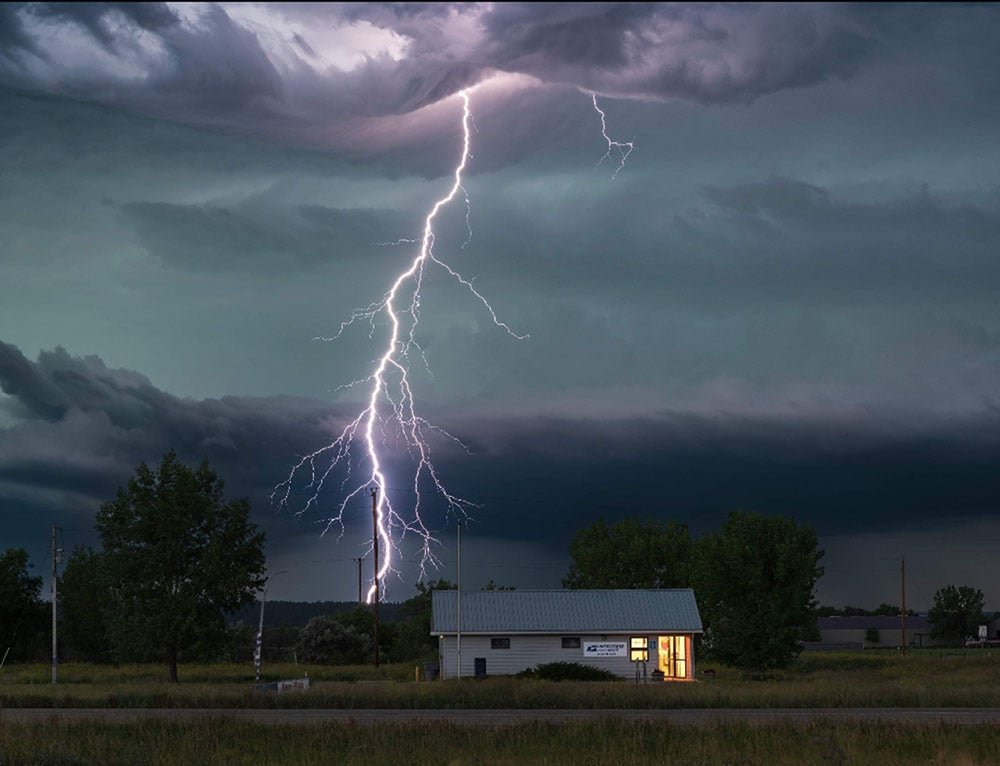
 Storms were now firing all over the place and congealing into a line of storms so we stopped 1 last time near the town of Hammond for some Lightning photography before letting the storms overrun us on our trip down to Spearfish for the night. John Finney managed to capture this stunning Cg Lightning Bolt behind the Hammond Post Office