
Sunday 15th May 2022 - Oklahoma (Enhanced Risk)
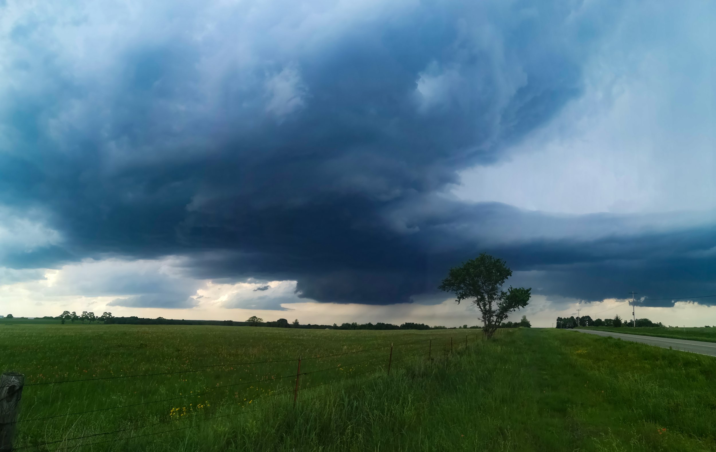
We awoke today in Wichita and had a target of an area just south of the Tulsa Metro area. Boundaries would be crucial today and where they would line up and today was a very rewarding chase day for me on a Meteorlogical basis. I noticed an Outflow Boundary on the Tulsa Radar moving SW and another boundary on the OK City radar moving from west to east, I plotted a course for an area just south of where both would collide and sat for initiation just south of Bristow (OK). The Storm of the Day duly erupted just 5 miles from our position and we watched it from a small TCU with Turkey Tower to full blown Supercell within 30 minutes.
 The SPC on the 16z Update had also now upgraded the Tornado Risk to 5% and after heading South of Okemah the Storm really started to take shape if a little bit HP in nature and Outflow Dominant.
 The Storm was now getting quite dangerous with a barrage of Anvil Cgs landing all around us and a good 20 miles in front of the Storm, one such bolt landed within 50 feet of us hitting a water tower behind us with a deafening crash of thunder. We continued south towards Atoka and by now the 1 discrete Supercell had formed a bowing south moving line segment as it approached the Red River Valley.
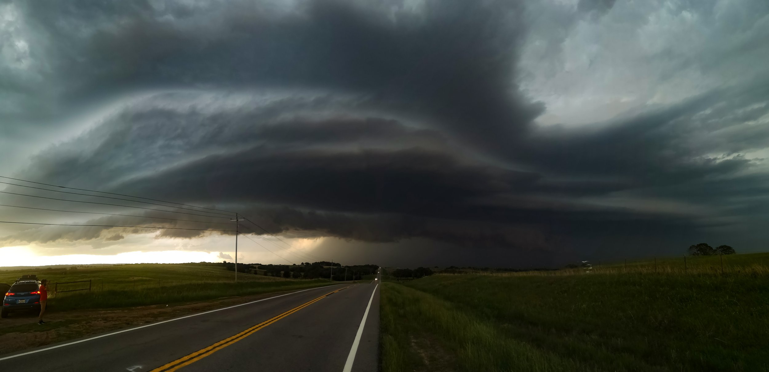 We punched back through the core towards our overnight stay at Ardmore dodging numerous trees down in the small country roads, in hindsight we should have blasted north to get some of the best mammatus there had been in years on the West and North side of the complex. But below is a picture of what it looked like.