Tuesday 7th June 2022 - NE/CO/KS - Slight Risk
Started today in McCook (NE) with a firm solid target of another NW Flow Supercell moving South East but this time we would have much better moisture to work with and also a weak surface low centred near the CO/KS/NE areas. We headed off towards Sidney to pick up the first sight of our Supercell and she was a real beauty.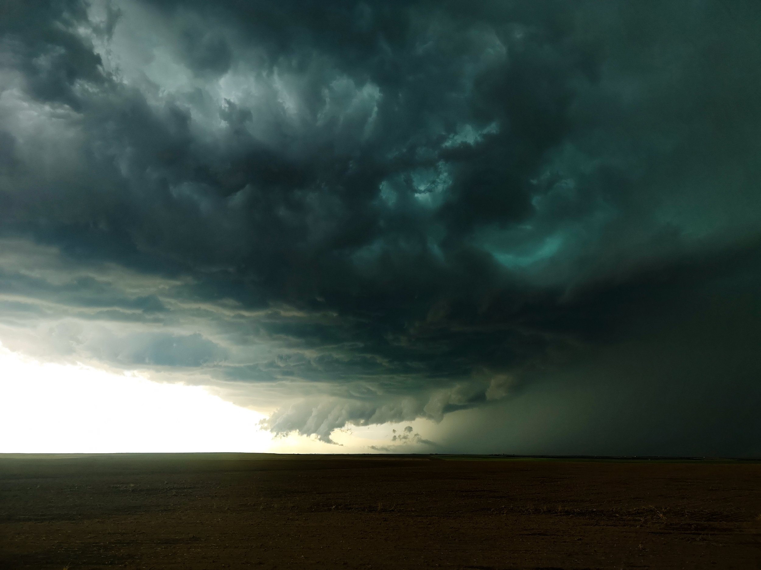 The Storm took off at quite a pace SE moving at 40-50mph so this was going to be a hard one to keep up with and we would have to use Dirt Tracks to do it.
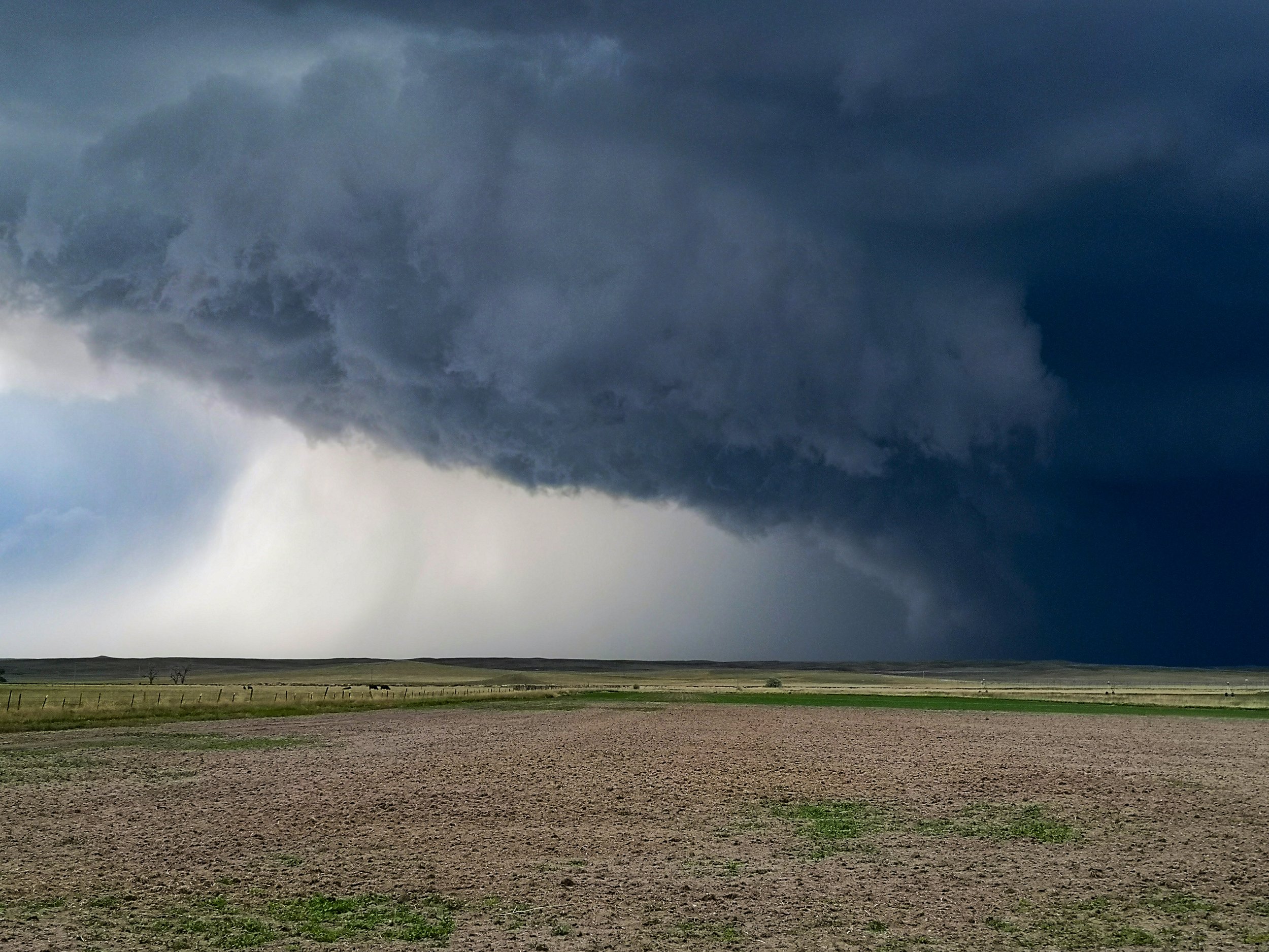 When we approached Sedgewick (CO) the storm really tightened up and we had areas of much stronger rotation above our heads. And just south of Sedgewick we watched the first Landspout Tornado of the day from this storm form in the field next to us. No chance to get out and take pictures with a big hail core heading str8 for us so we continued on towards Amherst where the storm put down another much better Landspout Tornado.
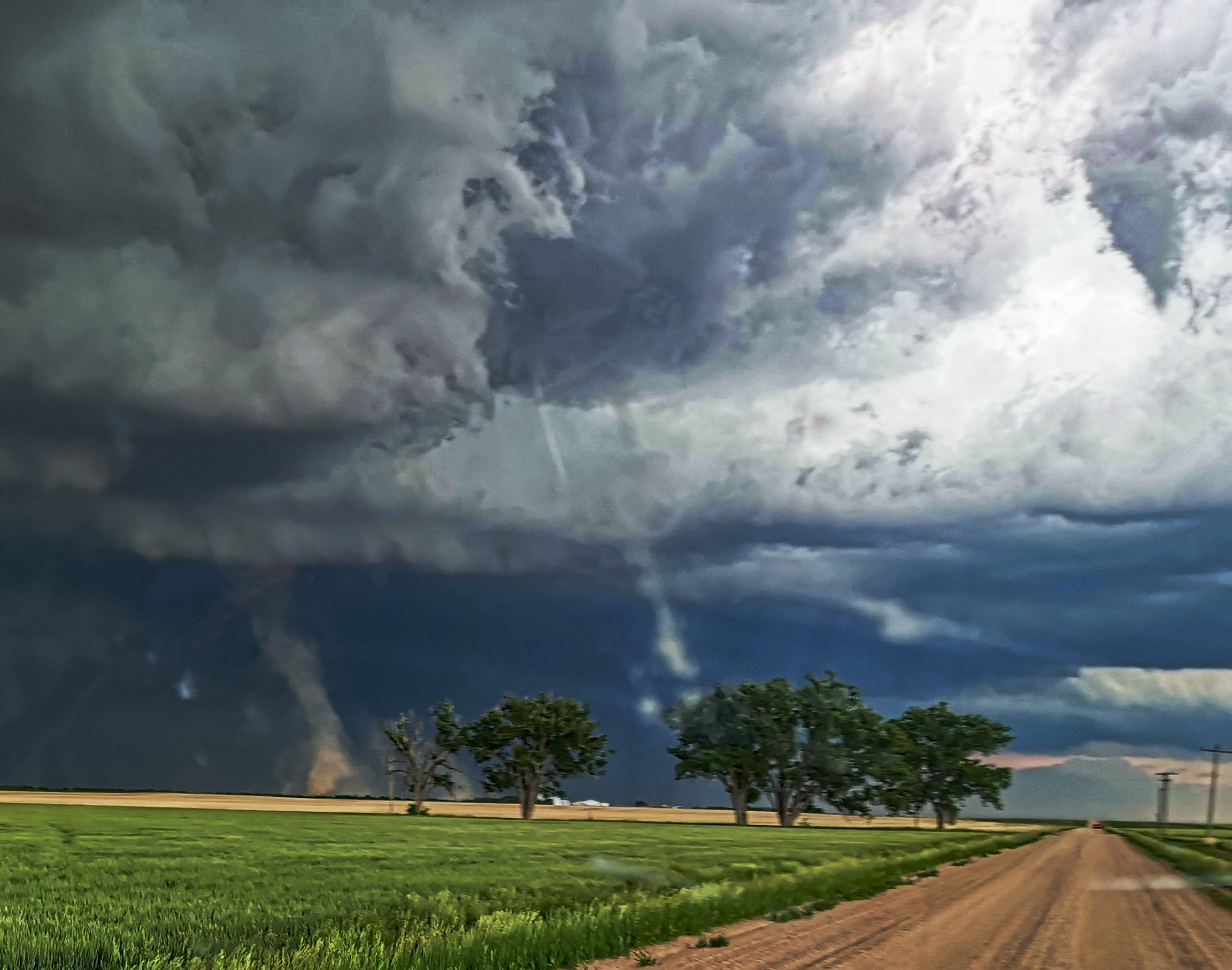
 This was becoming a very fun chase, blasting down towards Imperial more dirt roads this time full of puddles made for some interesting driving, the structure now was starting to look ominous with 3" Hail starting to be reported.
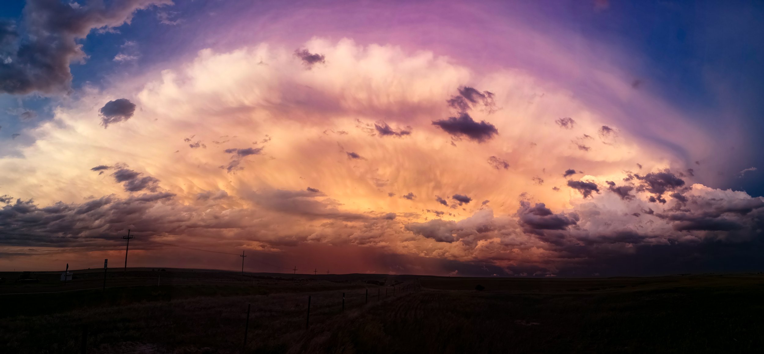
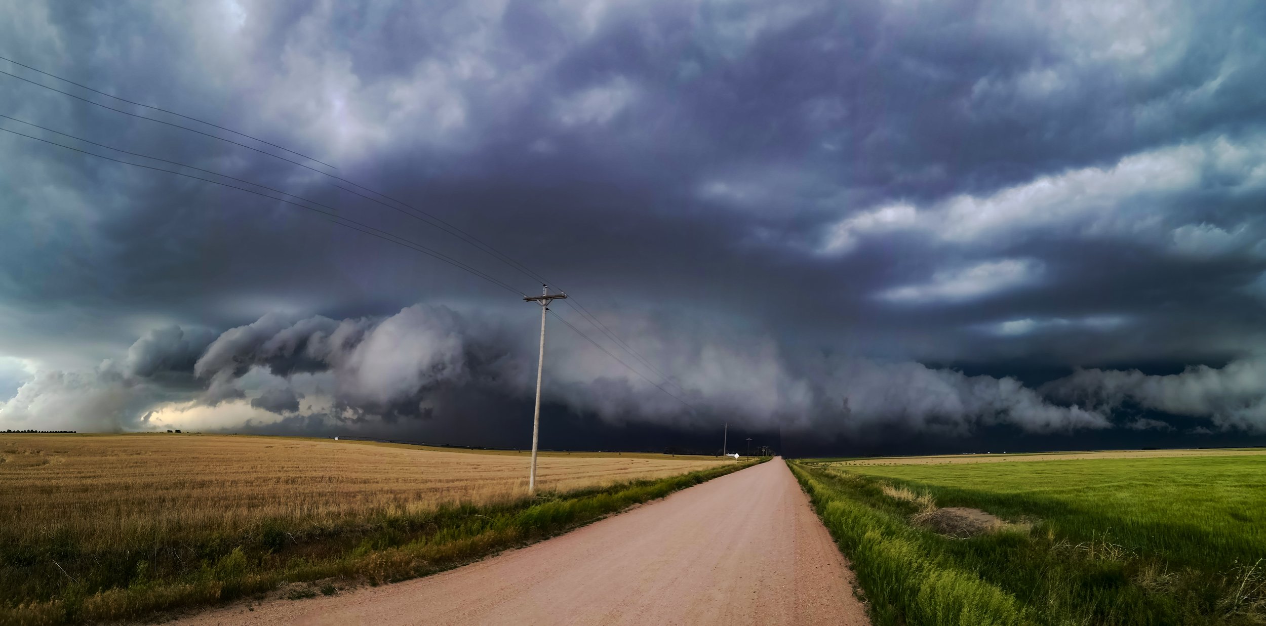 The Storm was just too fast for us ultimately so we took a break in Benkleman and then headed south and west to near Atwood to watch the sun set and light up our storm as it crashed away South East.