Thursday 9th June 2022 - Nebraska (Slight Risk)
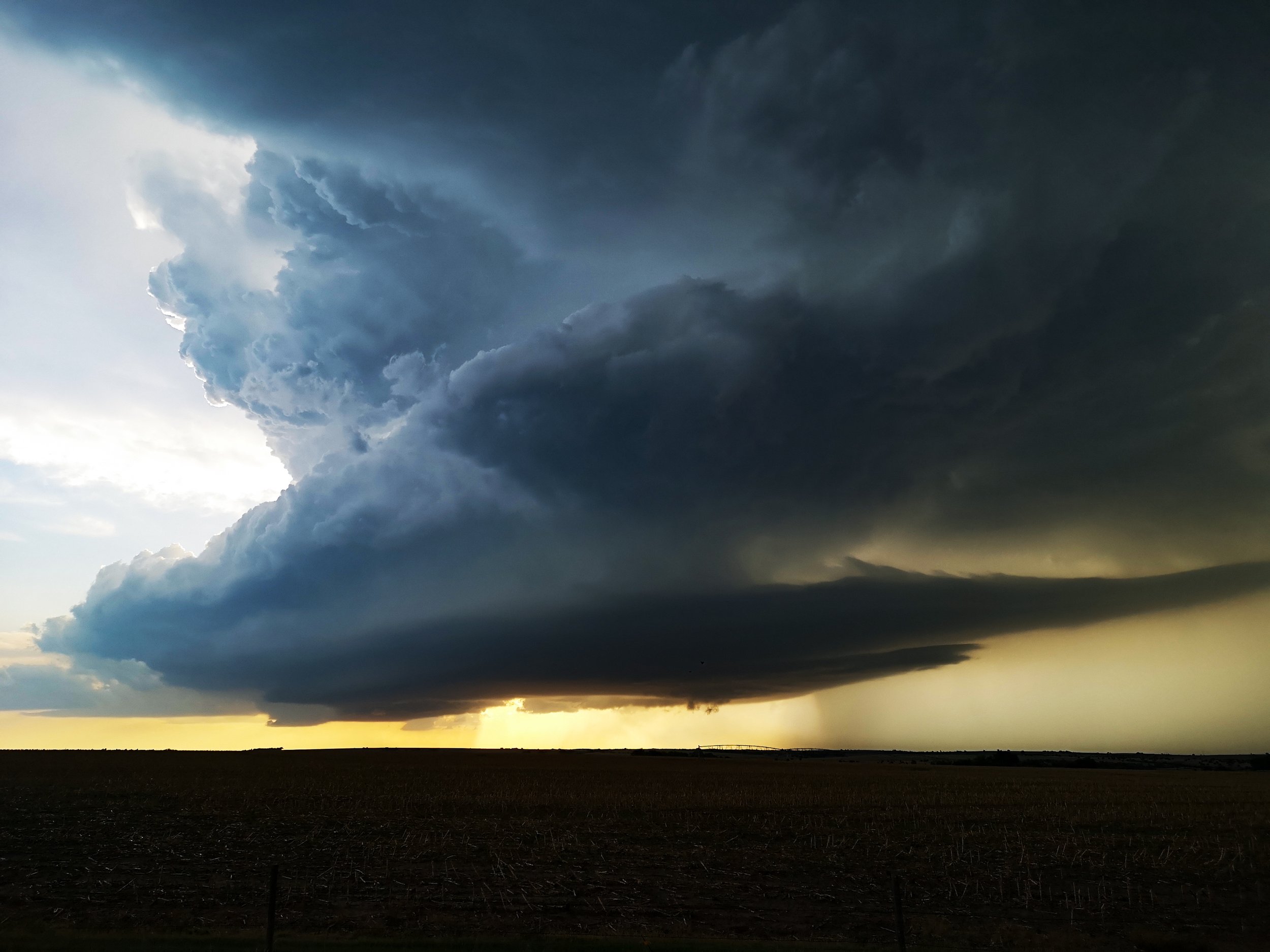
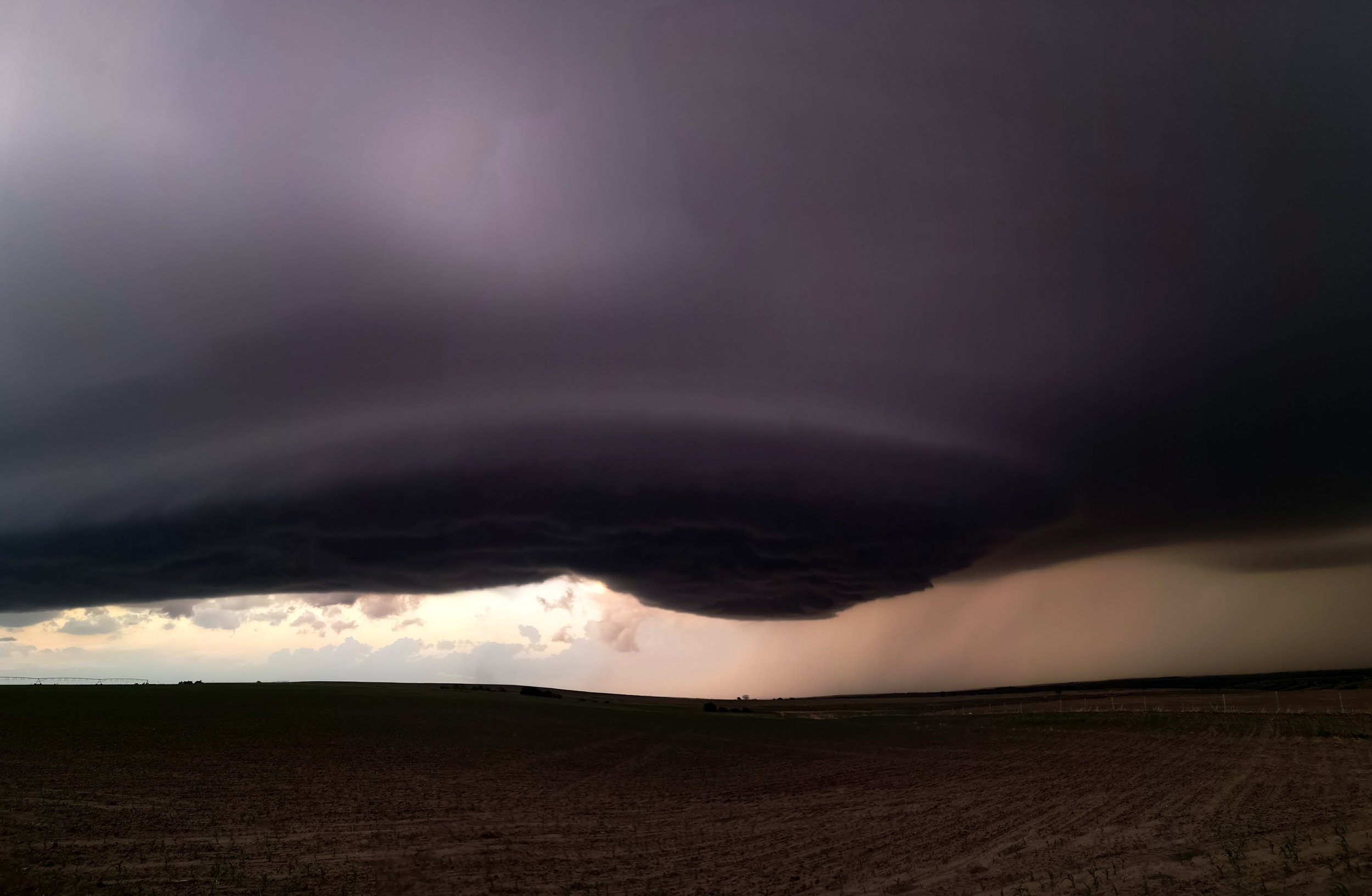
Started today in McCook (NE) and it was the last chase day for Tour 3. Todays Set Up would be a Triple Point risk near the Colorado, Kansas and Nebraska border area, hoping a Supercell would erupt early evening and ride the Warm Front. Early signs were good with some strong surface south easterly winds transporting low 60's dewpoints into the target area. Some early storm in Colorado tried to tempt us but kept to my target area of around Imperial to North Platte area. I noticed a nice boundary with agitated cumulus starting to grow and around 6pm the first blips on radar and echo tops appeared near the town of Grant. Cumulus was now starting to explode through capped layers right in front of us.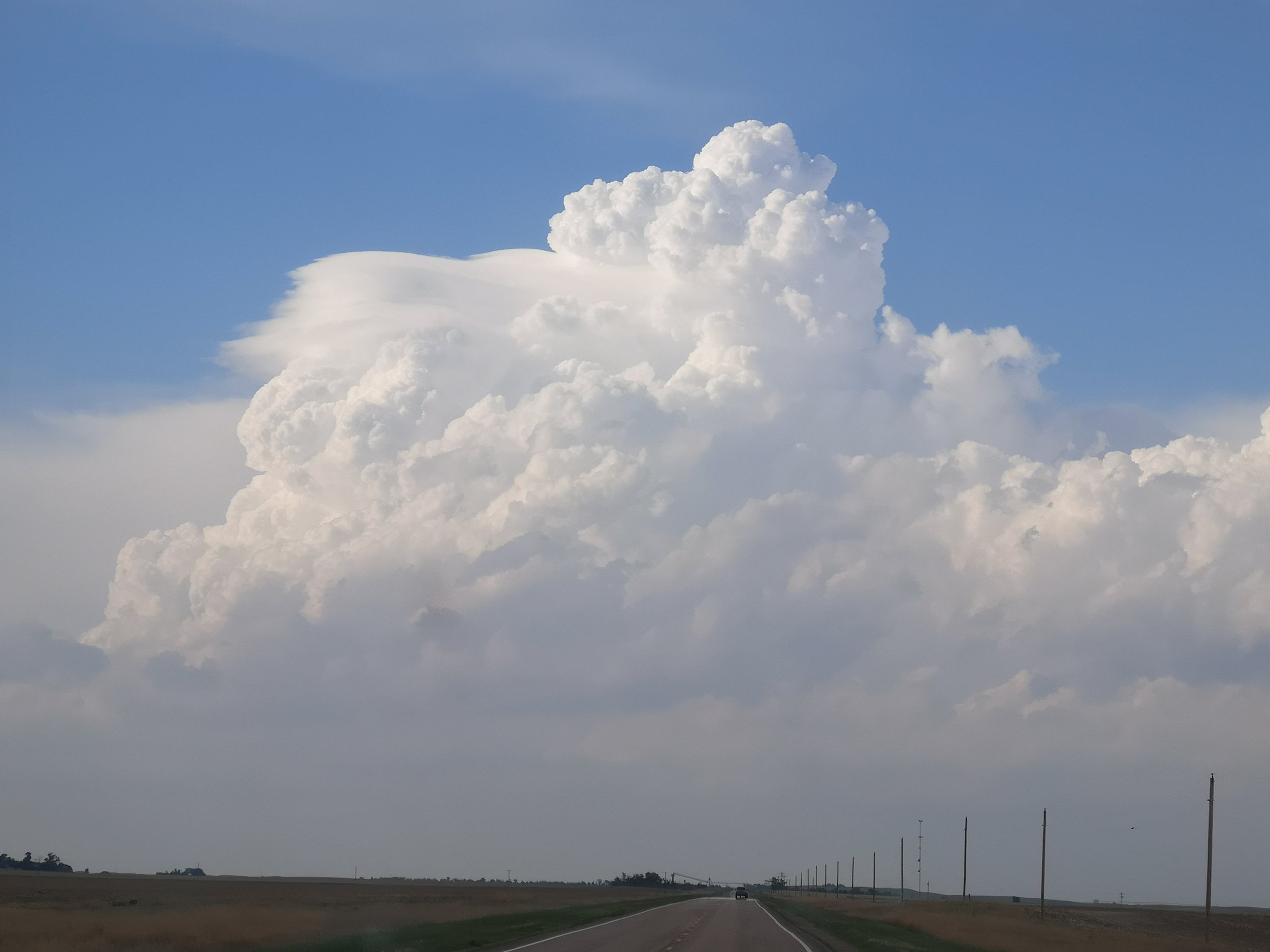 3 Storms started to boss proceedings but it was the middle storm that took over SW of North Platte and started to turn south east and ride the warm front, this storm really looked the part for a good hour with various funnels half way to the ground. Ultimately the chase turned into a structure show though after the storm had crossed the warm front and we now had an elevated LP Supercell for the last part of the chase down towards where we started at McCook. Some incredible structure was too be had though.