Sunday 19th June 2022 - MT/SD ( Slight Risk )
After a few tourist days visiting Devils Tower and Mount Rushmore we were back into Storm action today with a really nice risk in SE Montana and NW South Dakota. The models were showing a couple of long tracked Supercells heading from SW To NE initiating over the Big Horns of Wyoming. We awaited the dominant Supercell near Broadus and watched as it came into view at the same time as being Tornado Warned. Montana sure does not let you down with its incredible Structured Supercells and today was no different. The Storms motion was making it hard to keep up at times but we tried along dusty dirt tracks through Capitol and then Camp Crook as the Storm headed towards Buffalo (SD)
 The storm briefly looked tornadic whilst it was south of the boundary but ultimately once it crossed the boundary it became an Elevated Supercell, still lovely structure but more of a hail machine now and we encountered Tennis Ball Sized Hail east of Buffalo.
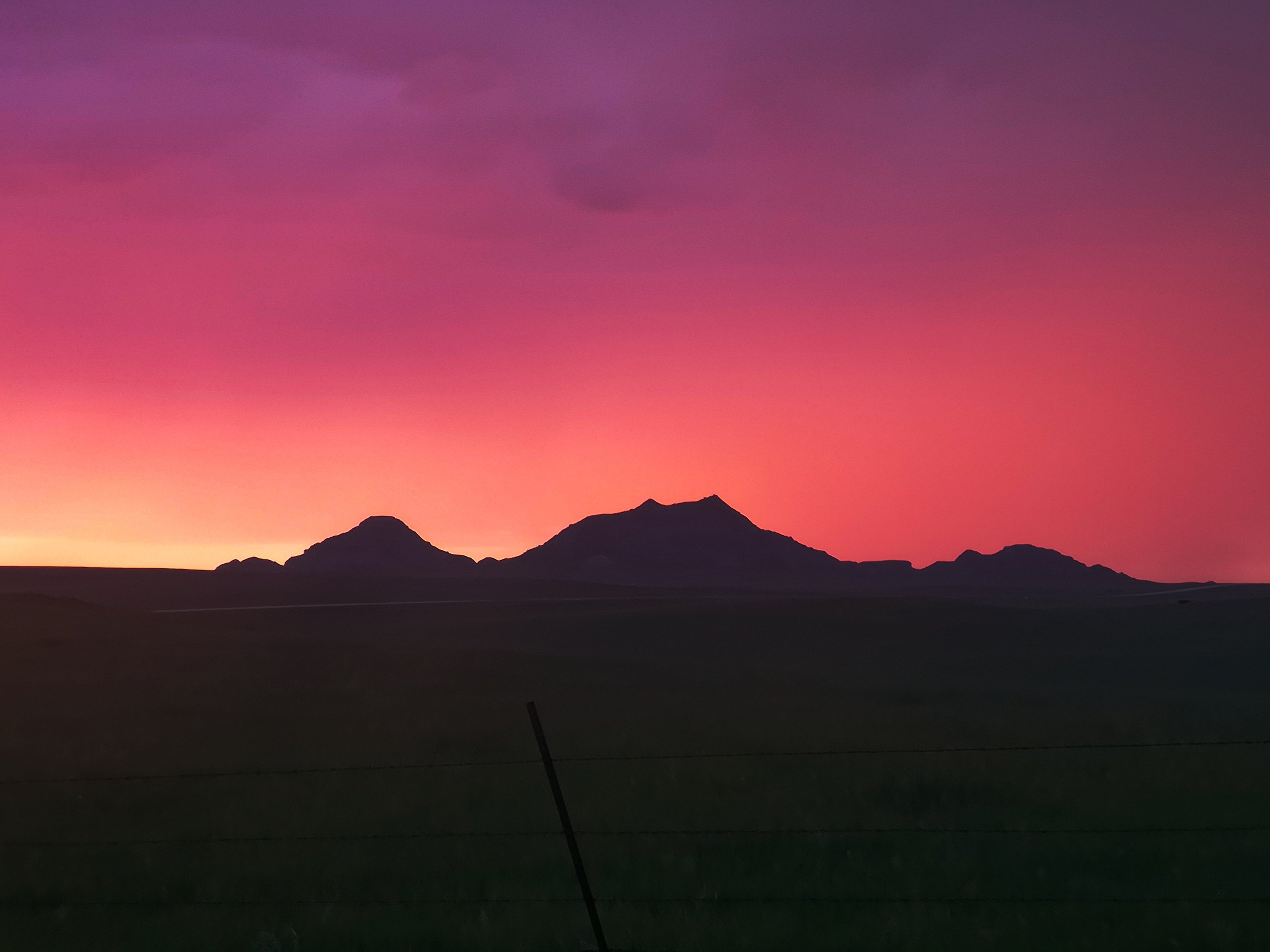
 Knowing tomorrow was our last chase day before the journey back to Denver I opted to leave the storm and headed for Rapid City for the night. The Sunset on the backside of the Storm over some South Dakota Volcanoes was stunning still.